Minerals Hub / Innovation & Technology / What a thorium channel can and cannot see
Innovation & Technology · Monazite · 6 min read
What a thorium channel can and cannot see
Gamma-ray spectrometry finds monazite-bearing sands because monazite carries thorium — but the signal comes from the top few centimetres of ground, and that sets the limit.
Reviewed by Peter Uppal
The short version
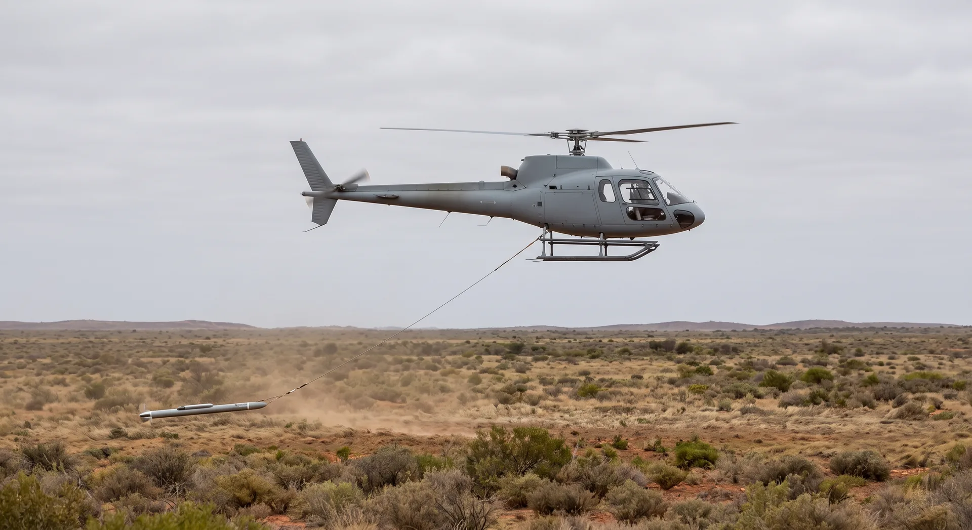
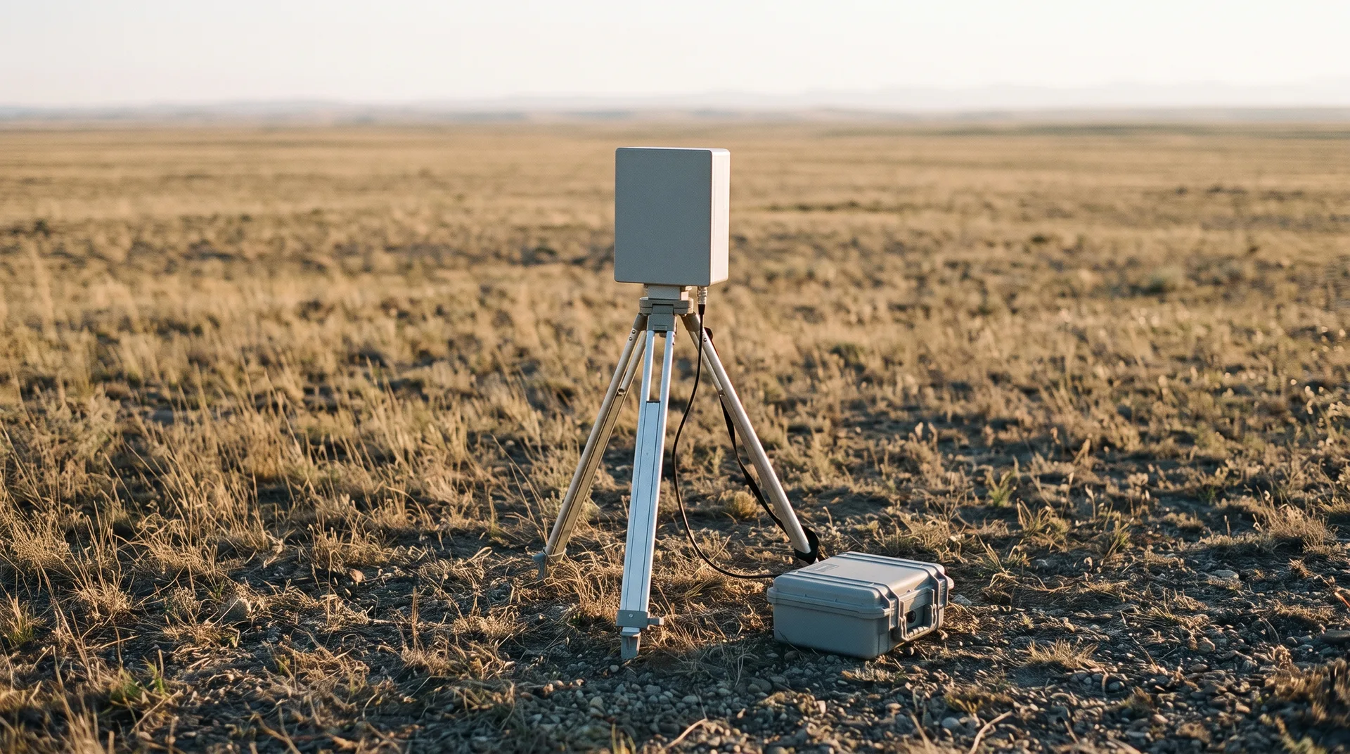
Airborne and ground gamma-ray spectrometry maps three radioelements, and one of them is thorium — which is why a monazite-bearing placer announces itself, since monazite concentrates from beach sands may contain 3 to 14 weight percent thorium dioxide. The limit is depth: the signal comes from roughly the top 20 to 30 centimetres of dry rock and soil, so the method finds where a deposit reaches the surface, and the account relied on here cautions that relating gamma-ray responses to regolith properties at depth may be misleading. That makes radiometrics a tool for locating a target, not for defining one.
Why this deposit type answers to this instrument
Most exploration methods look for a property the ore happens to have. Radiometrics is unusual in that a heavy-mineral placer is close to an ideal subject, because one of its economic minerals is radioactive.
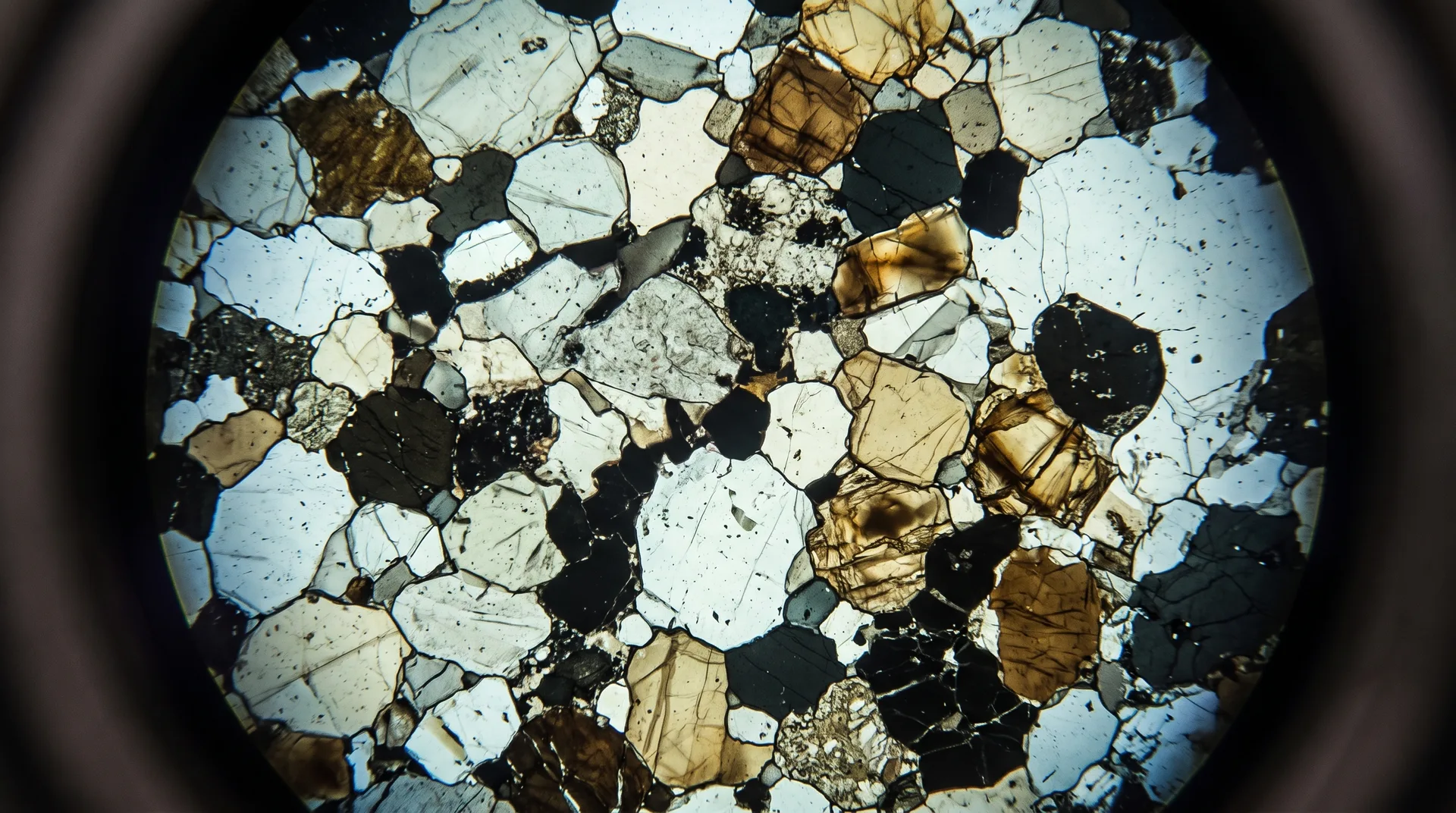
The USGS states the mineralogy directly: monazite is a source of rare earths and thorium, and that beach sands in several countries were processed to produce monazite concentrates, which may contain 3 to 14 weight percent (wt. %) thorium dioxide (ThO₂). It adds, for a different rock type, that monazite from some granitic rocks can contain up to 27 wt. % ThO₂ — a figure that belongs to granites, not beach sands, and should not be carried across. Thorium is not a trace passenger in this mineral. It is a percentage-level constituent, and it is radioactive.
The deposit model for this class confirms the practical consequence: regional exploration for deposits of heavy-mineral sands can utilize the analyses of stream sediment samples for Ti, Hf, the rare earth elements, Th, and U, and geophysical surveys, particularly radiometric (gamma-ray spectrometry for K, U, and Th) and magnetic methods. The same source attaches a caution in the same breath: geophysical anomalies may be small, and surveys are generally more successful when conducted close to sources of interest.
What the instrument is actually measuring
Two details of the measurement are worth knowing, because both are usually skipped and both change what a map means.
The first is that the thorium channel does not detect thorium. A technical account of the method explains that potassium abundance is measured directly as gamma-rays are emitted when 40K decays to Argon, but that for the other two elements, distinct emission peaks associated with 208Tl and 214Bi are used to calculate the concentration of Th and U. Thallium-208 and bismuth-214 are daughter products, several steps down their decay chains, and reading them as thorium and uranium assumes those chains are in equilibrium. How thorium gives a monazite deposit away from the air is the article on that substitution: it carries the standard window table, the laboratory analogue that seals samples for four weeks to force equilibrium, and the two further inferential steps — thorium is not monazite, and monazite is not grade — that stand between a reading and a rare-earth figure. This article takes the substitution as given and asks the narrower question that follows from it: how deep the instrument can see, and what that leaves to the drill.
The second detail is the one that governs everything else. Gamma rays emanate from the top 30 cm of dry rock and soil, the same account states, citing Minty (1997); elsewhere it puts the figure at the top 20-30 cm and notes that this means the survey is recording the radioelement characteristics of the upper soil horizons rather than of what lies below. Its warning is explicit: relating gamma-ray responses to regolith properties at depth may be misleading.
The thorium channel is not measuring thorium and it is not measuring the deposit. It is measuring thallium-208 in roughly the top 30 centimetres of dry ground.
The gap between finding and defining
Set those two facts against a real deposit's geometry and the division of labour becomes obvious.
At Orión the mineralised seams are described at surface and at depth. Osmond's channel sampling works on outcrop — its 16 July 2026 release reports seven new channel samples in eastern Avellanar and a mapped strike extended more than 550 m — while the company's website, not any release, describes mineralised outcrops over some 12 km across three target zones. That website claim is quoted here as the website's, with the distinction preserved: it is a mapping interpretation, not a released result.
The drilling reaches a different world. The AV-01bis intercept is reported at 3.0 m grading 13.20% TiO₂ from 105.75 m downhole (osm_251124, 24 Nov 2025), and SOR-08A at 2.7 m from 209.7 m downhole. Both sit a hundred metres and more below anything a gamma-ray survey can register. A radiometric map over that ground is a map of the outcrop, the soil developed on it, and whatever has been eroded downslope — and of nothing else.
That is not a criticism of the method. It is the method working as described. The survey's job is to say here, cheaply and across a lot of ground; the drill's job is to say how much, how thick, how deep, expensively and at points. Confusing the two is how a strong anomaly becomes an overstated prospect.
What else the same ground offers, and what it costs
The complementary geophysical method for this deposit type is magnetics, on the strength of ilmenite's iron content. It comes with a mineralogical catch of its own: iron is leached from ilmenite during weathering, upgrading the TiO₂ content of what remains and grading it towards leucoxene — general mineral-sands geology, carried by no retrieved extract of the USGS deposit model and not attributed to it here. Weathering makes the titanium richer and the magnetic response weaker — so the alteration that improves the product degrades the signal used to find it.
Between them, the two methods illustrate the honest position on exploration instruments generally. Each responds to one property of one mineral, under conditions it does not control, from a depth it cannot exceed. What they produce is a well-founded reason to drill somewhere, which is a genuinely valuable thing and is not the same as knowing what is there.
Exploration results and mineralogical estimates only. Orión has no JORC-compliant Mineral Resource or Reserve; maiden MRE and Scoping Study pending.
Sources
- Wilford, CRC LEME Open File Report 144, 2002, pp. 46-52 — Airborne Gamma-Ray Spectrometry, in Papp (ed.), Geophysical and Remote Sensing Methods for Regolith Exploration
- USGS 2019 Minerals Yearbook — Thorium (Advance Release, published September 2024)
- USGS SIR 2010-5070-L — Deposit model for heavy-mineral sands in coastal environments
- Osmond figures: ASX:OSM releases of 24 November 2025 and 16 July 2026; osmondresources.com.au project page (website claim, attributed as such)
Related reading
- How thorium gives a monazite deposit away from the air (Innovation & Technology · Exploration Technology) is the companion piece: the full inferential chain from a thallium-208 count to a rare-earth grade.
- The model that decides which mineral you found takes up the interpretation layer these instruments feed.
- Breaking rock without breaking the grains deals with the rock the drill reaches, once the survey has pointed at it.
- Reconciling a mine that makes four products follows the same numbers to the point where they are tested against production.
- What a lithified placer actually is (Science · The deposit explained) explains the geology that puts this deposit both at outcrop and at depth.
Sources
- SECONDARYWilford, J., 'Airborne Gamma-Ray Spectrometry', pp. 46-52 in É. Papp (ed.), 'Geophysical and Remote Sensing Methods for Regolith Exploration', CRC LEME Open File Report 144, 2002 (depth from which gamma rays emanate, citing Minty 1997; potassium measured directly from 40K decay; thorium and uranium calculated from 208Tl and 214Bi emission peaks; caution on relating responses to regolith at depth; effect of vegetation).
- PRIMARYUSGS 2019 Minerals Yearbook, 'Thorium [Advance Release]', published September 2024 (monazite as a source of rare earths and thorium; monazite concentrates from beach sands may contain 3 to 14 weight percent ThO2; monazite from some granitic rocks up to 27 wt% ThO2; monazite in heavy-mineral-sand placer among principal commercial sources).
- PRIMARYUSGS Scientific Investigations Report 2010-5070-L, Van Gosen and others, 'Deposit model for heavy-mineral sands in coastal environments' (regional exploration using radiometric and magnetic surveys; geophysical anomalies may be small and surveys generally more successful close to sources of interest). The leucoxene sentence formerly carried in this label is in no retrieved extract of the report and is no longer attributed to it in the body.
- PRIMARYASX:OSM release, 24 November 2025 — AV-01bis, 3.0 m at 13.20% TiO2 from 105.75 m.
- PRIMARYASX:OSM release, 16 July 2026 — SOR-08A, 2.7 m from 209.7 m; channel sampling in eastern Avellanar, mapped strike extended more than 550 m.
- SECONDARYosmondresources.com.au, Orión project page [WEB] — mineralised outcrops over some 12 km and three target zones; a website claim not confirmed in any release, attributed as such in the text and not linked.Non-public document · no public URL