Minerals Hub / Geography & Supply Chains / A strandline records which way the sea was going
Geography & Supply Chains · Rutile · 5 min read
A strandline records which way the sea was going
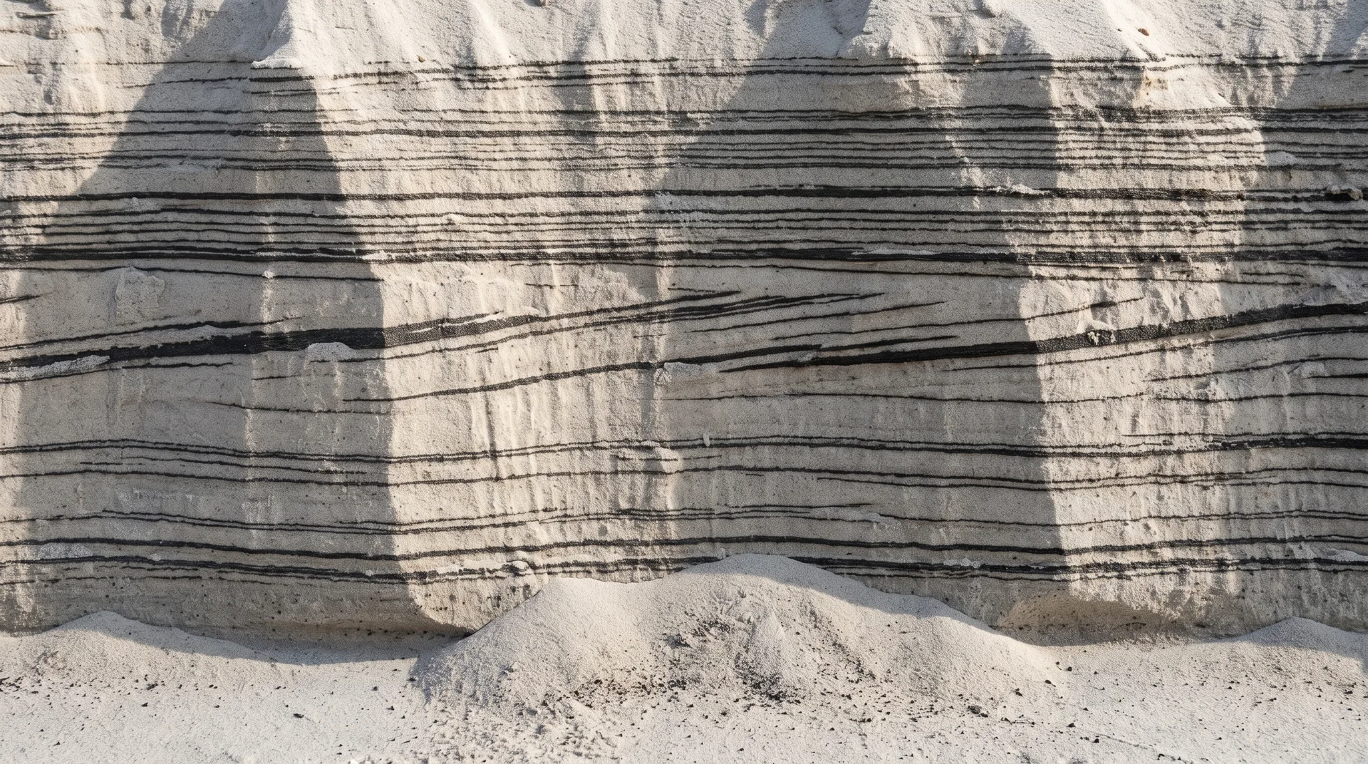
Heavy minerals are sorted in a strip a few metres across at the top of a beach, and the shape and direction of the resulting deposit are what a district is actually made of.
Pending review
The short version
Heavy minerals are separated from ordinary sand in a strip at the top of a beach, a few metres across, by the difference in how fast grains settle. Repeat that for long enough on a shore that is slowly moving, and the result is a deposit with a shape — long, narrow, and oriented along the shoreline that made it. A district of such deposits is therefore a record of where a coast used to be and which way it was travelling.
The machine is a few metres wide
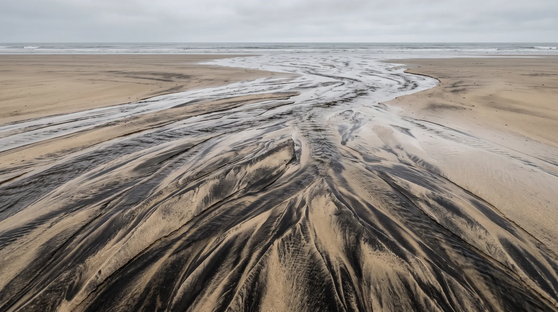
The sorting does not happen along the whole beach. The USGS deposit model for heavy-mineral sands puts it precisely: the principal zone of mineral separation is "the upper part of the beach face, also known as the swash zone (the foreshore)", where "the heaviest grains, which have the highest settling velocities, are deposited at the bottom of the swash zone". Everything else the ocean does to a beach moves material around; that narrow band is where dense grains are actually parted from light ones.
South Australia's account describes the same process from the other side — what leaves rather than what stays. In South Australia's account, wave action deposits sand on the beach "and the heavy minerals are concentrated when backwash carries some of the lighter minerals such as quartz back into the sea"; the same page adds a second mechanism, onshore winds which "preferentially blow lighter grains inland" and can lead to "higher concentrations of heavy minerals at the front of coastal dunes".
One pass of that does very little. The deposit is what accumulates from an enormous number of passes: economic deposits, USGS says, "represent innumerable thin layers of heavy mineral accumulations separated by very small unconformities". A heavy-mineral seam is not a bed that was laid down; it is an accounting of every tide that ever failed to carry the dense grains away.
The deposit is not a thing the sea made. It is the residue of everything the sea declined to take with it.
Which is why it has the shape of a shoreline
Because the sorting happens in a line, the product is a line. Victoria's description of the type is dimensional: strandline deposits "have a linear geometry (up to 10 m thick, more than 2 km long and 300 m wide) and are characterised by relatively low tonnages and high grades (5%-20% mineral sand content)". The USGS model, describing heavy-mineral sand deposits more broadly rather than the strandline type specifically, gives a wider envelope: thickness "from about 3 to 45 meters (m) with widths of 0.4 to 4 km". The two are not the same measurement and should not be averaged; they are a state survey's description of one deposit style and a federal survey's description of the class it belongs to.
What both agree on is the orientation. USGS: these sand body complexes "are generally oriented parallel to the coast and the paleostrandlines, corresponding to past fluctuations in local sea level". Note the hedge — generally, and paleostrandlines, plural.
And why the shoreline is somewhere else now
The plural matters, because a shore that stays put builds one deposit and a shore that migrates builds a series. USGS states the control on which of those happens: "the majority of heavy-mineral sands accumulation appears related to seaward progradation of the shore during regression events" — again hedged, the majority, appears related to. One further sentence is attributed to the same report — that rises and falls in regional sea level "strongly influence the deposition and preservation of heavy-mineral sands" — and it is in no retrieved extract of that document, so it is set out here without a link and without weight until it is read off the page.
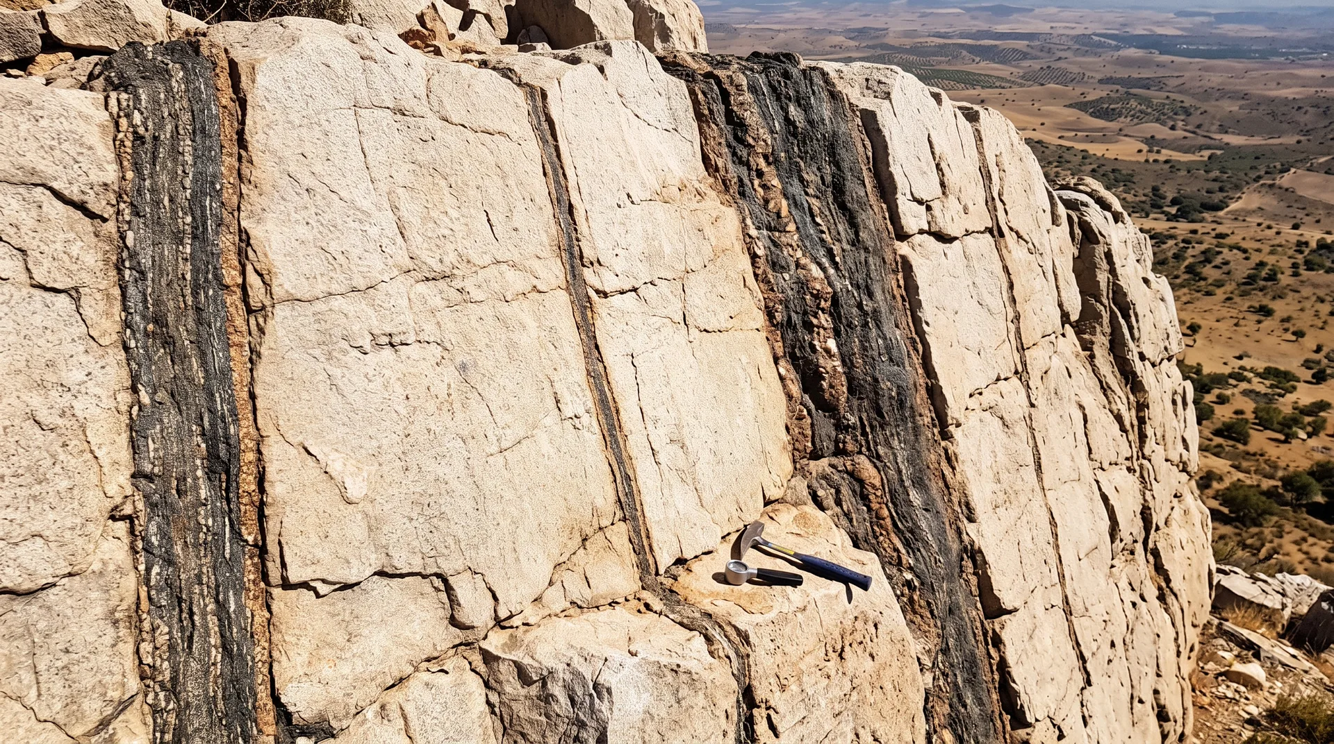
The consequence is that the deposits are rarely where a map would suggest looking. Geoscience Australia is blunt about it: because "sea levels have changed significantly over geological time, ancient mineral sand deposits may be well removed from modern coastlines", with named inland deposits in Victoria — Wemen, Bondi and Kulwin — and in south-western New South Wales — Ginkgo and Snapper. South Australia puts the same fact in one sentence: old "fossil" shorelines known as strandlines "can now be found some distance inland".
The Murray Basin is where this reads most clearly. Victoria records that its strandline deposits "are orientated northwest-southeast, which represents the general orientation of the former shoreline that advanced from current day South Australia and then retreated"; South Australia independently describes heavy minerals accumulated in "northwest–southeast-trending Pliocene strandlines" in the same basin. USGS counts the result: the Murray basin "contains more than 100 Pliocene coastal sand deposits, which are estimated to hold, in total, heavy-mineral resources of more than 80 Mt" — a figure USGS attributes to Roy and Whitehouse (2003), and states with two hedges of its own.
And the sequence has not finished. Victoria notes that the youngest strandlines "remain active in The Coorong in South Australia" — the modern end of the same set, still being sorted by the same swash zone.
Related
- Countries — the national frame that averages over all of this
- Exploration — how a seam of this shape is sampled and defined
- Major Projects — the developments that sit within such a district
- Mining Methods — what a shallow, layered, unconsolidated deposit dictates
- Community Engagement — the settled landscapes these lines run through
Sources
- PRIMARYVan Gosen, B.S., Fey, D.L., Shah, A.K., Verplanck, P.L., and Hoefen, T.M., 2014, Deposit model for heavy-mineral sands in coastal environments: U.S. Geological Survey Scientific Investigations Report 2010–5070–L, 51 p. Swash-zone sorting; thin-layer accretion; deposit thickness and width ranges; orientation parallel to coast and paleostrandlines; transgression/regression control; Murray Basin deposit count and resource estimate (itself attributed by USGS to Roy and Whitehouse, 2003).
- PRIMARYResources Victoria (State Government of Victoria), 'Mineral sands' fact sheet, March 2022. Strandline linear geometry and dimensions; grade range; north-west/south-east orientation of Murray Basin strandlines and the shoreline advance-and-retreat it records; strandlines occurring inland; the Coorong as the youngest, still-active strandlines. NOTE: the words 'parallel' and 'sea level' do not appear in this document.
- PRIMARYDepartment for Energy and Mining, South Australia, 'Heavy Minerals'. Fossil shorelines found inland; north-west–south-east-trending Pliocene strandlines in the Murray Basin; wave and backwash concentration; onshore-wind concentration at the front of coastal dunes.
- PRIMARYGeoscience Australia, Australian Resource Reviews — Mineral Sands. Ancient deposits removed from modern coastlines; named inland deposits in Victoria and south-western New South Wales.
- ANALYSISANALYSIS — the framing of a strandline set as a directional record, and the reading that this is why regional coverage outlives asset coverage, are this publication's. Note what is NOT claimed: no source consulted states that finding one strandline implies further deposits along strike, and none of the sources here discusses infrastructure or the economics of an unserved region.Non-public document · no public URL